
IntoTheWild Expeditions · Morocco 4×4
918 km from the desert to the AtlanticThe digital roadbook
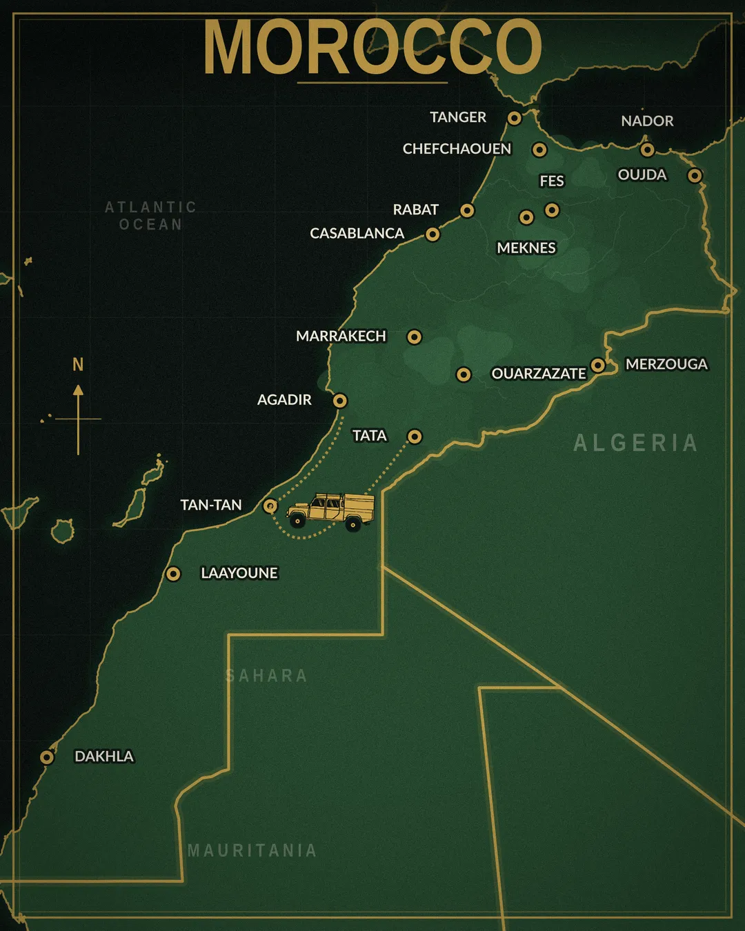
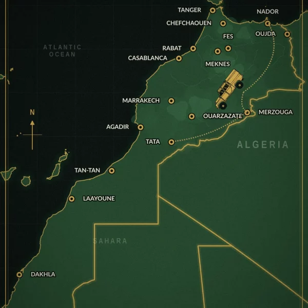
Morocco 4×4 roadbook: 918 km from Tata to Agadir, 613 km off-road
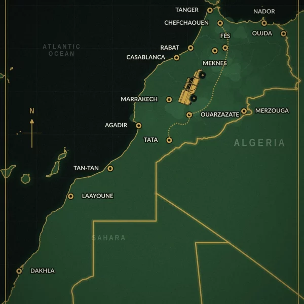
No guide, no convoy to follow. This Morocco 4×4 roadbook is you behind the wheel, our track in your GPS, and nobody telling you when to move on. 918 km from Tata to Agadir, 613 of them off-road, which is 67 % of the route on dirt. From the ochre sand of the deep south to the cliffs the Atlantic keeps hammering, with the bivouacs, the tricky sections and the bypass options we scouted ourselves.
Why drive this Morocco 4×4 roadbook self-guided
A track we actually drove
Every kilometre covered in our own Defender. Every trail, every bivouac, we were there.
GPX tracks ready to load
Drop the file into your GPS or your app and go. Nothing to set up, nothing to figure out.
Desert first, then ocean
Ergs, canyons, hidden palm groves, forgotten forts and 40 km of beach. Two worlds on one line.
Four mapped alternatives
High tide, a wadi running full, rock steps, deep sand: bypasses are already drawn so you get through anyway.
Sand and beach: don’t go alone
This is the one real warning in the whole Morocco 4×4 roadbook. On the sandy sections and the run along the shore, we strongly recommend two vehicles minimum. Getting bogged down is a twenty-minute problem with a second truck and a much bigger one on your own, and the tide doesn’t wait. If you’re travelling solo or conditions look wrong, alternatives are drawn around those sections so you lose nothing of the trip.
This Morocco 4×4 roadbook is only one face of the country
Morocco has several. Our three roadbooks cover worlds that have almost nothing in common: the dune seas of the Sahara, canyons cut into red rock, Atlas passes above 3,000 metres and the Atlantic cliffs. Close to 3,900 km in total, more than 2,300 of them off-road. That’s more landscape than any single trip can hold.
Any two roadbooks
−€19applied automaticallyTorn between the desert and the mountains? Take both. The discount lands on its own in the cart.
All three roadbooks
−€68applied automaticallyDesert, canyons, Atlas and ocean: one country, four different worlds. This is what most people take when they’re going for more than three weeks.
- The Sahara : ergs, dune seas and hamadas as far as you can see
- The canyons : red walls, deep wadis and forgotten towns in the middle of nowhere
- The Atlas : passes above 3,000 metres, deep gorges, cedar forest and high-altitude bivouacs
- The Atlantic : cliffs, beaches and fishermen’s camps
- Close to 3,900 km of route, more than 2,300 km off-road, all of it driven by us
- The same self-drive spirit in every Morocco 4×4 roadbook we publish: you drive, you decide, we hand you the track
What’s inside the Morocco 4×4 roadbook
The PDF roadbook
The complete guide as a digital PDF, readable on any device.
Interactive GPX map
Downloadable GPS tracks in GPX format, alternatives included.
35 essential waypoints
Bivouacs, viewpoints, tricky sections, fuel stations and campsites.
The preparation guide
Paperwork, ferry, temporary vehicle import, water, fuel, travelling with a dog, emergency numbers and mechanics we trust.
This Morocco 4×4 roadbook in pictures
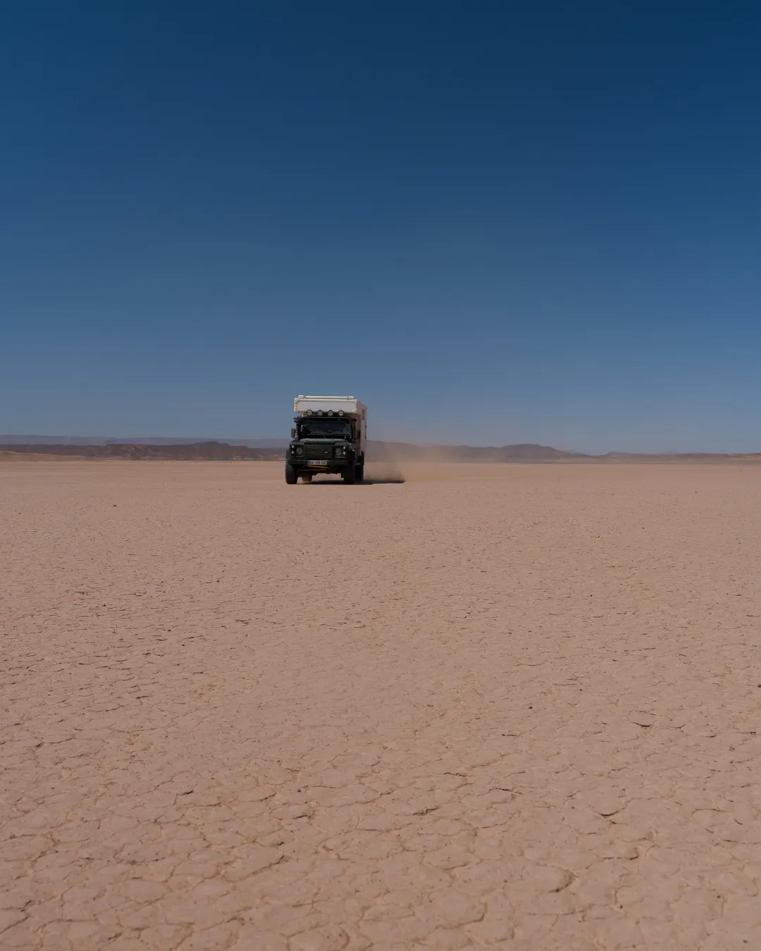
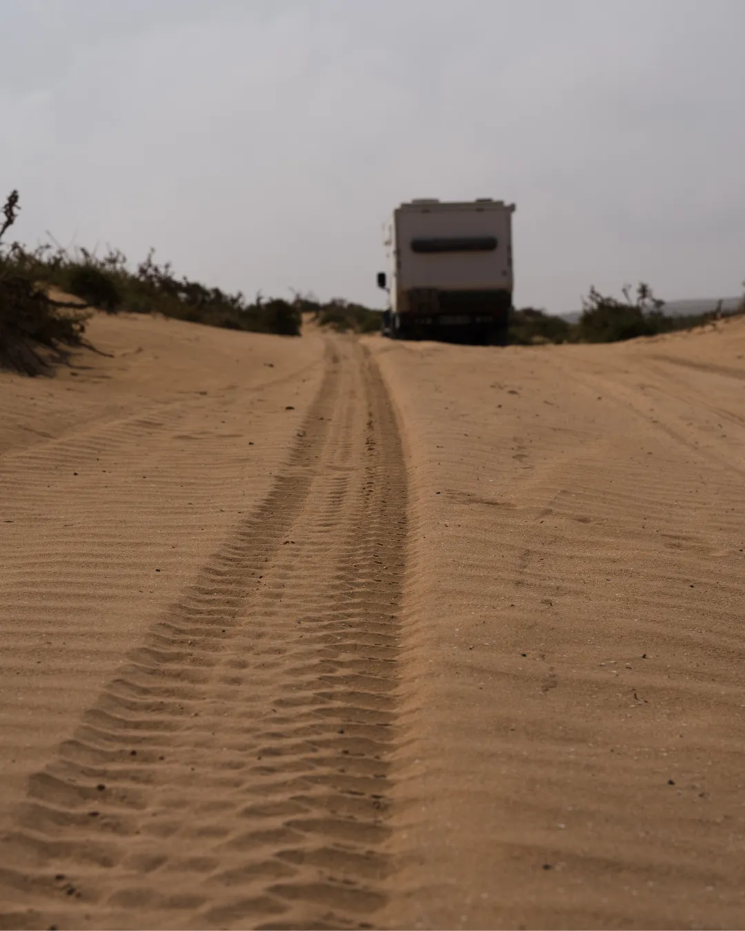
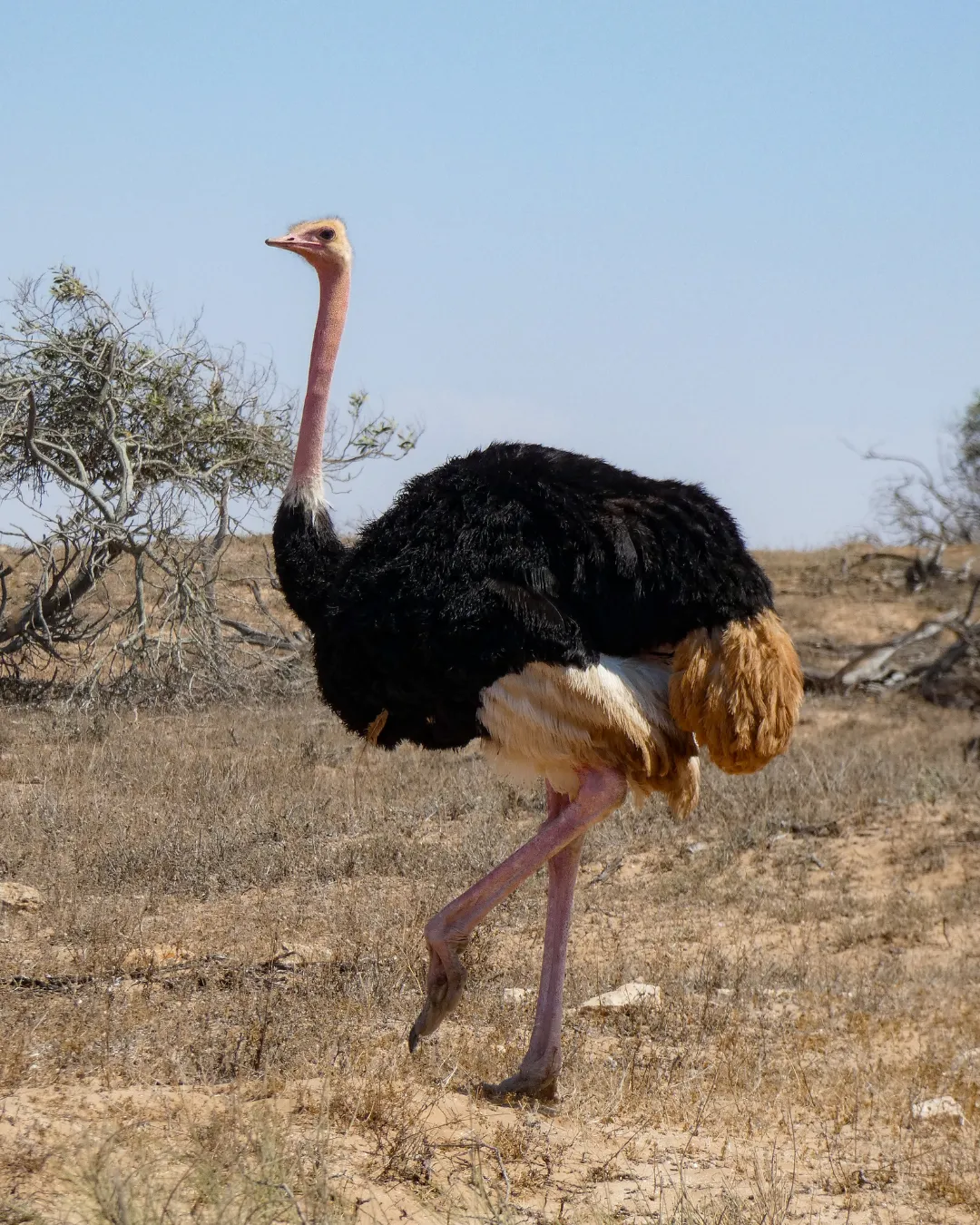
How we drove this Morocco 4×4 roadbook between Tata and Agadir
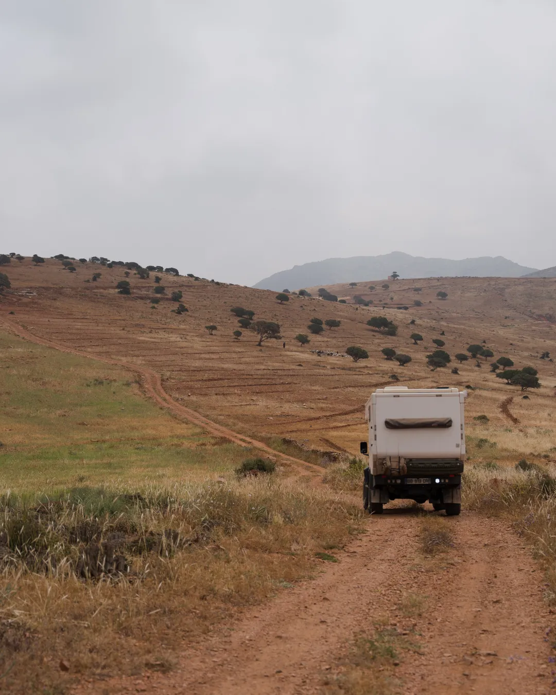
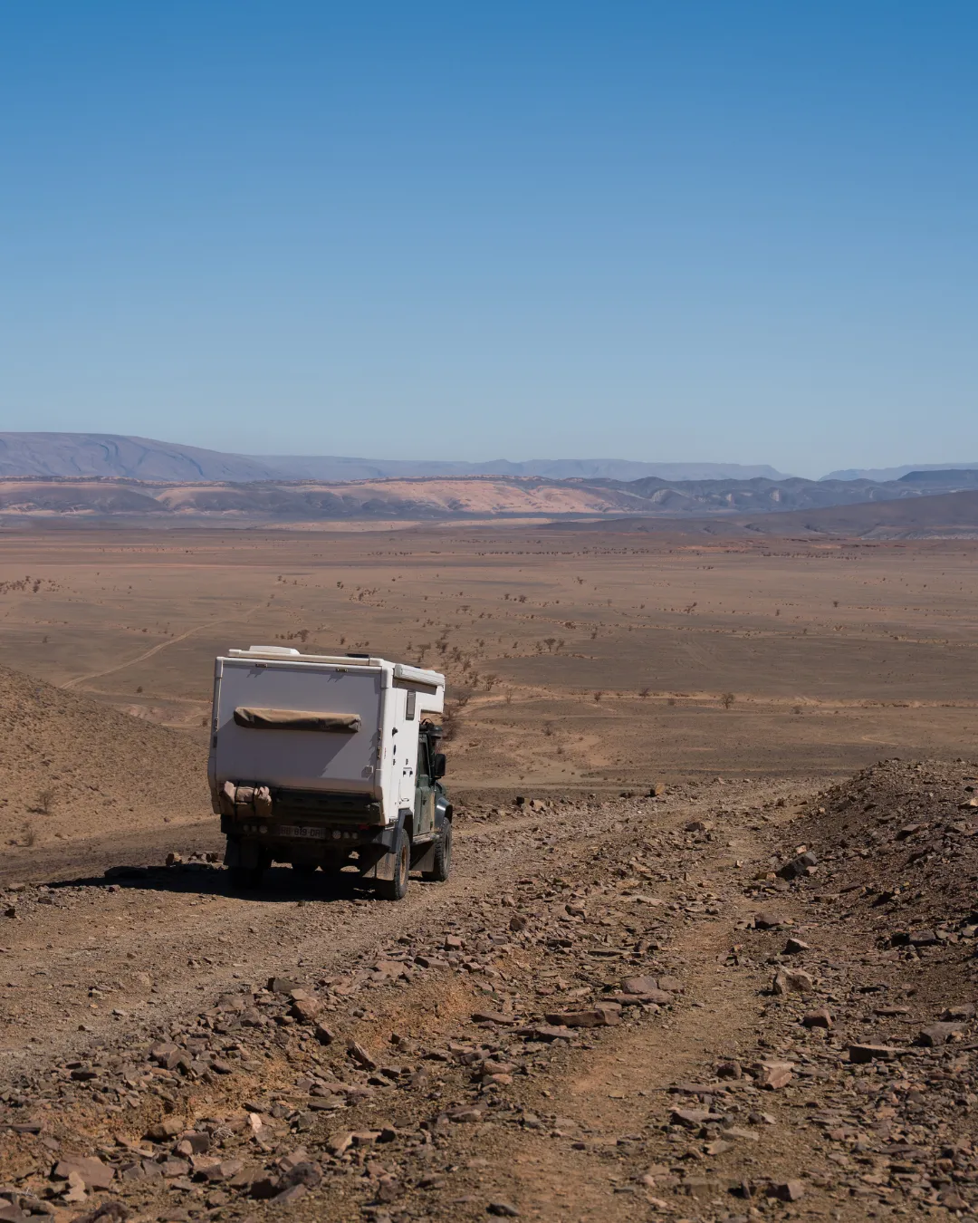
Here is how this Morocco 4×4 roadbook came together, on the ground. Tanks full, heading west. A few white sand dunes leaning against the first hills, a bivouac tucked into a palm grove, Pixie asleep on the seat, and by the next morning a completely different set: rock as far as the horizon, total silence, that very particular feeling of being alone and a long way from anything.
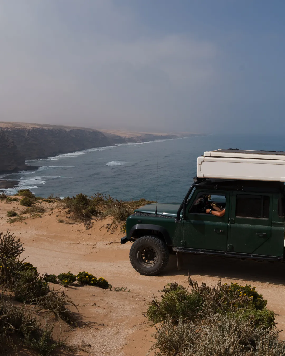
Then the desert opens onto the ocean. A huge beach, fishermen’s camps, an old fort standing in the middle of nowhere.
If you’d rather head somewhere else, have a look at our other roadbooks.
Morocco 4×4 roadbook at a glance
Who is this Morocco 4×4 roadbook for?
A Morocco 4×4 roadbook like this one suits people who want to do the driving themselves, pick their own bivouac, stop when the light is good and leave when they feel like it. You sleep facing the dunes, then facing the ocean, you drive around the tides, you cross a country of bare rock that tips into blue without warning. It asks for self-sufficiency, a properly prepared vehicle and some off-road experience. In exchange it hands you places you would never have found on your own.
Every trail is a discovery. Every bivouac, a promise of freedom.
Morocco 4×4 roadbook FAQ
What exactly is a self-drive Morocco 4×4 roadbook?
You travel in your own vehicle, you drive, and nobody comes along. No agency, no guide, no convoy to keep up with. You buy the roadbook, load the GPX track, and leave when you want, at the pace you want. It’s the freest way to do it.
What vehicle do I need for this Morocco 4×4 roadbook?
A 4×4, an expedition truck or a properly shod 4×4 van gets through everywhere on the route, and trail bikes do very well on it. You want ground clearance, decent tyres and a way to air down and reinflate. For vehicles that are less at home off-road, four alternatives are drawn in to skip the most technical sections. The 4×4 preparation guide included with every roadbook goes into the detail.
Can I do the sand and beach sections with a single vehicle?
We’d advise against it. On the sandy stretches and the beach run, two vehicles minimum is the sensible call: getting stuck takes a few minutes to sort out when someone can pull you free, and a lot longer on your own with the tide coming in. Alternatives are drawn in the Morocco 4×4 roadbook to avoid those sections if you’re travelling solo or the conditions aren’t right.
Does the roadbook work offline?
Yes. You get a full PDF and the GPX tracks to load into your GPS or your app. Once they’re downloaded you navigate with no signal at all, including the long stretches where no network reaches.
How many days should I plan for the route?
We’d say 7 to 10 days to link it all up without rushing. If you want to play in the dunes and linger on the coast, count on a dozen.
How do I handle fuel along the way?
The roadbook takes care of that: every refuelling point we found along the route is listed and marked as a waypoint in the GPX track, detours included. So you know where and when to fill up before each remote stretch. It’s on you to adjust for your vehicle’s real range and carry a jerrycan if needed.
What’s the best season to drive this Morocco 4×4 roadbook?
Between September and May. In summer, temperatures regularly go past 50 degrees out in the desert. Watch the rain too: wadis rise in minutes and can stay impassable for days.
How do the Duo and full Morocco discounts work?
They’re automatic, there’s no code to enter. Add two Moroccan roadbooks to the cart and €19 comes off. Add all three and the discount goes to €68. The total updates by itself at checkout, and delivery stays instant since everything is digital.
Can I do this trip with a dog?
Yes, we do it with Pixie every time. The preparation guide covers the paperwork: ISO microchip, rabies vaccination, health certificate, rabies antibody titration for the way back, and which ferry company to pick. Start one to two months ahead.
Ready to drive this Morocco 4×4 roadbook?
A Morocco 4×4 roadbook that runs from the desert to the Atlantic, and nobody in between telling you what to do.
918 km of freedom, downloadable in a minute.
Take our track, put it on your phone and go. And if you’re thinking bigger, add the other two Moroccan roadbooks: €68 comes straight off the cart.
Morocco on video
Watch the YouTube playlist
Follow us on Instagram
The trip as it happens, from the desert and the coast.
- Stories straight from the trails
- Photos that will make you want to leave
- Tips for travelling smarter
- Spots you won’t find anywhere else
Reviews
There are no reviews yet.